Startups
Aether
Aether develops digital navigation aids for maritime vessels. The software evaluates whether the incoming GNSS position is reliable, and provides a corrected position in case the signals are jammed or spoofed. This helps offshore and merchant fleet vessels in their global operations.
Anox
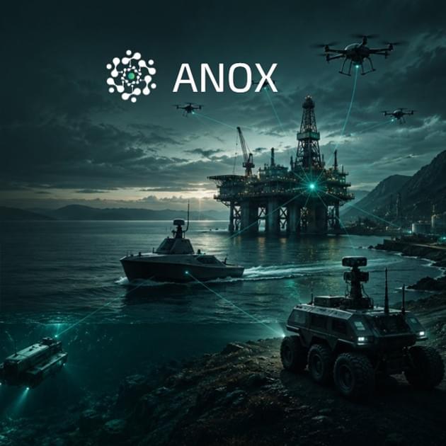
ANOX provides AI-powered diagnostics for UAVs, ROVs and other unmanned systems. Their technology analyzes existing telemetry and operational data to identify root causes, detect abnormal behavior and provide actionable recommendations — without requiring new hardware or extensive integration.
By turning complex machine data into actionable insight, ANOX helps operators and engineers reduce downtime and maintain autonomous systems more efficiently.
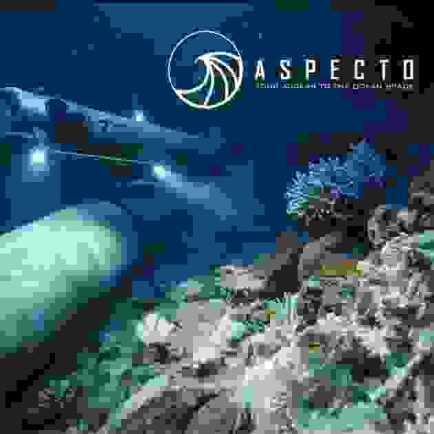
Aspecto
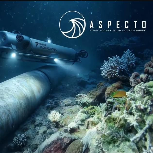
Aspecto provides high-resolution, precisely georeferenced seabed data for marine industries. Using the autonomous CORAX underwater vehicle, we capture detailed imagery for habitat mapping, environmental baselines and repeat monitoring.
Satellite connectivity enables remote operation and data access even beyond mobile coverage.
Autonomous data collection. Precise marine insights.

Aviant
Aviant does autonomous last-mile delivery for healthcare and e-commerce, using long-range drones equipped with GNSS-free navigation to ensure fast, reliable, and sustainable transport—even in environments where GPS signals are unreliable or unavailable.

Cuatro Group
Cuatro Group is a Norwegian FinTech and InsurTech startup using satellite Earth observation and geospatial AI to assess climate risks to buildings. Its platform provides property-level insights that support insurance underwriting, claims management, risk pricing, and asset monitoring for insurers, financial institutions, and property owners.
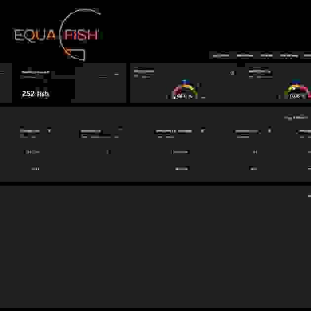
EquaFish
EquaFish transforms scattered farm data into actionable insights, helpingproducers improve control, responsiveness, and production outcomes.
Integrating satellite-derived environmental data with farm-level sensor data gives producers a detailed understanding of how shifts in water chemistry and emerging biological risks could impact their stock, allowing for early, targeted mitigation.
Noora Net
Noora develops carbon removal projects in the boreal forest.
By working with professional forest owners to optimize their forest management to enhance carbon uptake and storage, and leveraging AI and advanced satellite monitoring, Noora quantifies, monitors and reports on project climate effect.
Projects are financed by businesses that take responsibility for their unabated emissions by investing in certified carbon credits from European forests.
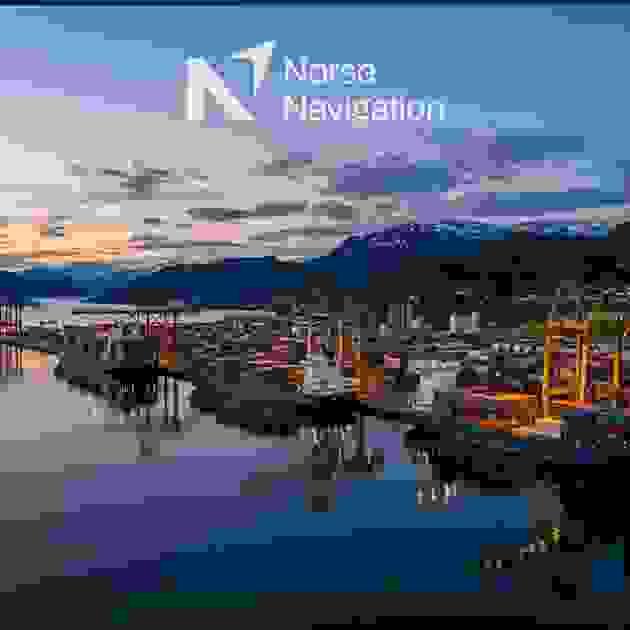
Norse Navigation
Norse Navigation transforms Europe’s advanced satellite navigation services into certified, cost-efficient maritime sensors.
Their technology provides trusted Positioning, Navigation and Timing (PNT) across the global fleet, strengthening maritime navigation in an era of increasing jamming and spoofing.
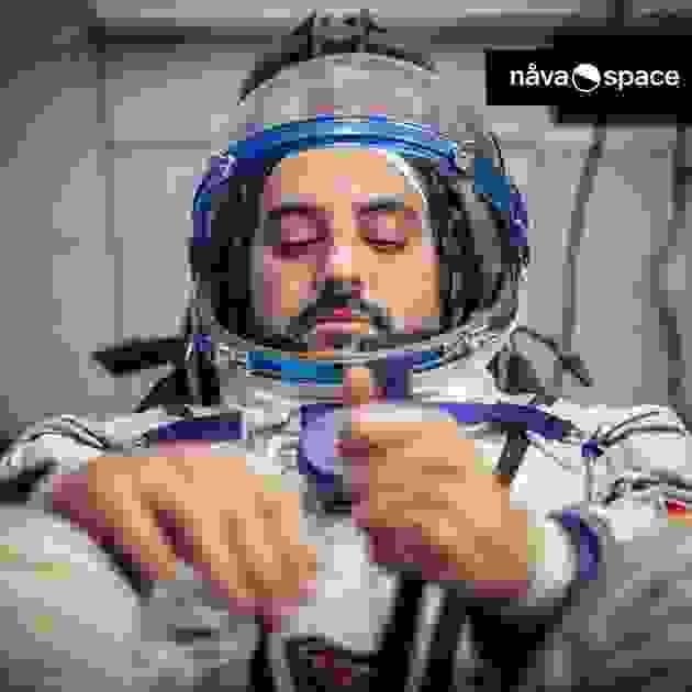
Nåva Space
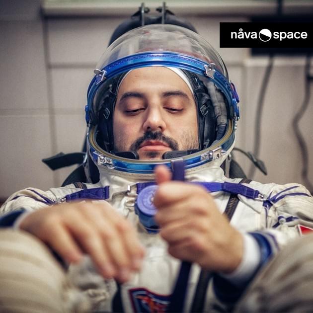
Nåva Space develops next-generation EVA space suits and astronaut equipment for extreme environments. With a focus on innovation and human-centric design, they are dedicated to advancing astronaut safety and mobility in the most challenging conditions. Their mission is to advance human space exploration by prioritizing astronaut safety, performance, and mobility with their cutting-edge EVA space suits and equipment.
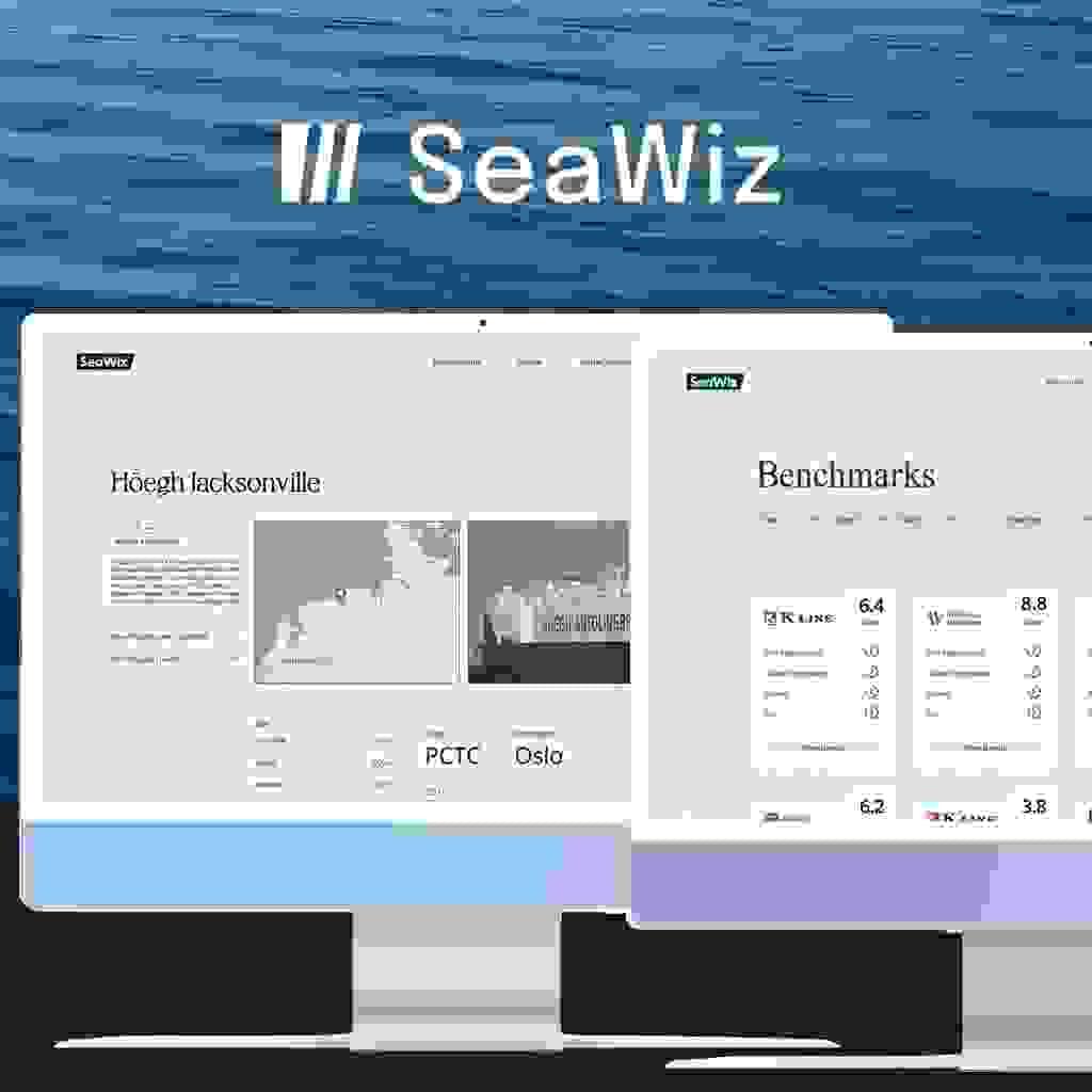
SeaWiz
SeaWiz brings transparency and accountability to global shipping players, through real-time benchmarking of key areas like; vessel performance, environmental performance and financial performance. We fuse data to help maritime stakeholders optimize their performance within the above mentioned areas - starting with the RoRo segment.

SentiSystems
SentiSystems delivers sensor-agnostic platforms that solve the critical challenge of precisely timestamp and synchronizing data from multiple sensors in real-time. Its core product, the SentiBoard, ensures nano- to microsecond-level time synchronization, enabling seamless integration and reliable decision-making for autonomous and robotics systems. Leveraging space-based technologies such as GNSS and satellite communication, SentiSystems delivers precise positioning and data reliability even in remote or extreme environments, bridging the gap between terrestrial autonomy and space-inspired innovation.

Testnor
Testnor addresses the satellite industry’s most complex threats through open-air testing and data exploration. Their unique geographical location in the Arctic enables them to conduct activities that are impossible elsewhere in Europe. Their customers span the entire satellite value chain, from system owners to end-users in sectors such as communication, automotive, aviation, components, defense, and public authorities.